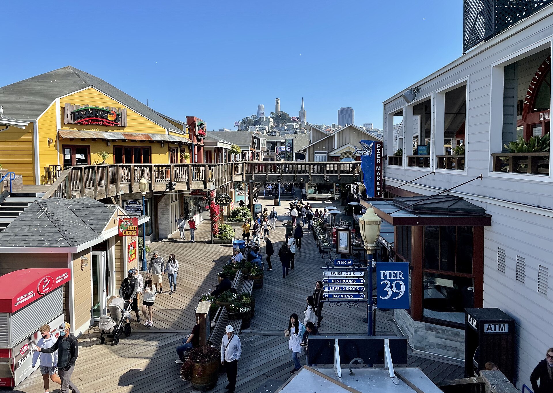
 Wikimedia Commons · Chris6d · CC BY-SA 4.0
Pier 39's file is mostly environmental review of its development. A 1976 city planning EIR and a 1977 federal environmental statement describe the plan for Pier 39: about 200,000 square feet of new retail — 133,000 square feet of food service and 67,000 square feet of shops — plus a "people mover" circling the pier and marina berthing for sport-fishing and small boats. A 1988 draft EIR covers the Underwater World aquarium proposed at Pier 39. An Arts Commission agenda records Pier 39 management exploring hosting the Cheemah sculpture at East Park, pending Port and BCDC approval. The pier is operated by the Port of San Francisco, whose FY2025 budget line is $156M; no contract in this data names it.
2 Beach St · City-owned · 532,244 sq ft · 4 buildings on site · parcel 9900070 · District 3 · City Facilities registry
No city spending is recorded against this place by name. San Francisco publishes contracts, bond items and vendor payments at project level, and none of them names this site — so there is no figure to show, rather than a figure of zero.
Run by the Port, whose whole-department budget is $156.4M across 304 staff (FY2025) — citywide, not this place’s own. The City does not publish a running cost per building.
The 1988 draft environmental review of the proposal to build the Underwater World aquarium at the pier.
Underwater World aquarium at Pier 39 : draft environmental impact report ↗Internet Archive — San Francisco Public Library partnership scansThe final 1978 environmental report on Levi's Plaza, contested over a shortfall of several hundred parking spaces on the northern waterfront.
Levi's Plaza : final environmental impact repart · 1978 ↗Internet Archive — San Francisco Public Library partnership scansA 1976 environmental impact report for the North Point Park/Marina proposal, a development plan running from Pier 37 through Pier 41.
Proposed North Point Park/Marina, San Francisco, California : draft environmental impact report · 1976 ↗Internet Archive — San Francisco Public Library partnership scansThe Army Corps of Engineers' 1976 environmental statement on the same waterfront proposal, covering Piers 37, 39 and 41 after fire destroyed most of Pier 37.
North Point Park/Marina, City and County of San Francisco : regulatory permit applications by Waterfront Recreation Facilities, Inc. ; draft environmental statement · 1976 ↗Internet Archive — San Francisco Public Library partnership scans
See 4 more documents
- Final environmental statement, North Point Park/Marina, City and County of San Francisco : regulatory permit applications by Waterfront Recreation Facilities, Inc · 1977 ↗Internet Archive — San Francisco Public Library partnership scans
The 1987 Northern Waterfront findings report, surveying transit, pedestrian and loading conditions along the Jefferson Street frontage.
The Northern Waterfront findings report · 1987 ↗Internet Archive — San Francisco Public Library partnership scansA Port of San Francisco strategic plan listing Pier 39's tenants and recreation leases among the port's income-producing properties.
Strategic plan, Port of San Francisco ↗Internet Archive — Democracy's LibraryThe 1981 Fisherman's Wharf action plan, which takes Pier 39 as the eastern boundary of the study area and proposes limiting further commercial recreation there.
Fisherman's Wharf action plan · 1981 ↗Internet Archive — Democracy's Library
1 procedural record — minutes, agendas, calendars — not listed.